
As more frequent and more severe storms erode coastlines, mapmakers must adapt quickly.
For anyone living in areas less directly affected by the climate crisis, maps that show change over time provide a crucial bridge to understanding what’s really happening in other places, and how quickly.
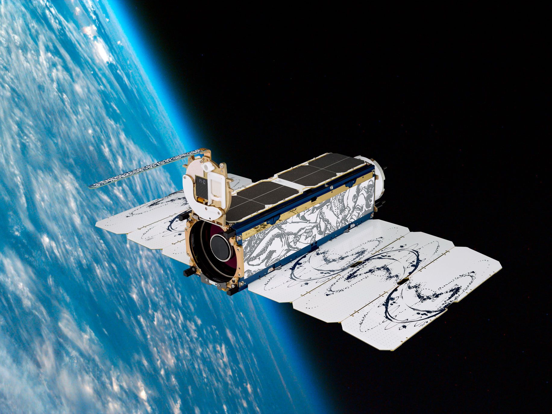
“By helping people visualize how the world is changing, maybe that will give them a better understanding of climate change as a whole,” says Tanya Harrison, director of science strategy at Planet, a private satellite imagery company. “How is your neighborhood being affected? How is your grandmother’s house being affected? Maybe she lives on the other side of the country or the other side of the world. In a way, that can kind of make this a little bit more personal.”
See more: How next-gen satellites are transforming our view of climate change by Megan Wollerton
How can these satellite images be used to help ensure that nature based carbon offset credits (forests, mangrove swamps, peat bogs) are maintained and not subject to greenwashing due to lack of long-term maintenance built into the initial offset purchase?
Great question Karl! Satellite images like these are great to hold organizations accountable because we can monitor things like the area of the forests, mangroves, etc., over time and combine the imagery with ground-based data to estimate how much carbon is sequestered in them, and how much is released if/when they are destroyed. It’ll play a critical role in making sure carbon offsets are legitimate.